Computer vision / Case study
Roadway Solutions
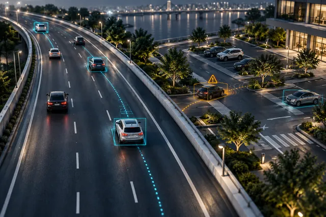
I developed road-inspection workflows using fine-tuned YOLO, ByteTrack, MiDaS and SAM 2, with OpenVINO experiments for inference performance.
 Harshit Makwana
- My role
- Detection, segmentation, tracking & inference optimization
- Timeline
- 2024–ongoing
- Focus
- Computer vision
01 / Context
Combining object detection, surface analysis and road-scene segmentation.
Road inspection involves different visual tasks: locating and counting objects, examining potholes, and distinguishing road dividers, footpaths and vegetation. I worked on combining these capabilities with location-related notifications in a real-time workflow.
02 / Ownership
What I built
- Fine-tuned YOLO for real-time object detection and segmentation, with ByteTrack for tracking and counting.
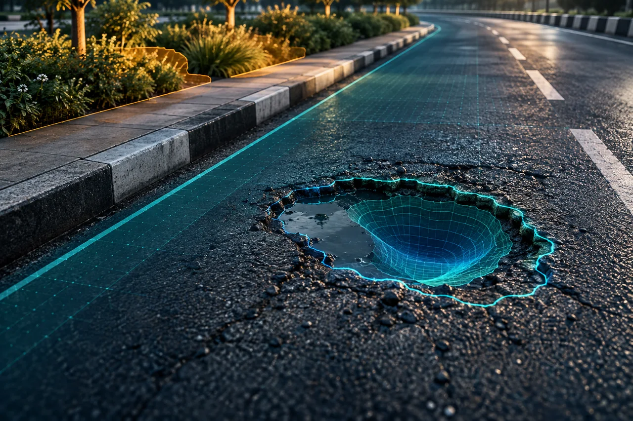
- Combined MiDaS depth estimation with contours from segmented potholes to support pothole analysis.
- Tested alternative models and worked on inference performance using OpenVINO.
- Applied SAM 2 to road-scene segmentation for dividers, footpaths and shrubs or trees, and developed real-time location-related notifications.
03 / Engineering
Technical approach
Use different models for distinct visual tasks
I used fine-tuned YOLO for detection and segmentation and ByteTrack to connect detections over time for tracking and counting. For potholes, I combined the segmented object contour with MiDaS depth estimates to support analysis of the detected road surface.
Extend the scene understanding
I applied SAM 2 to segment road dividers, footpaths and vegetation in the road scene. I also tested different models and used OpenVINO in performance-improvement work, alongside the notification logic associated with detected locations.
04 / System view
Workflow at a glance
Road imagery
Objects, surfaces and roadside context
Vision tasks
YOLO / ByteTrack, MiDaS and SAM 2
Scene analysis
Counts, pothole contours/depth and road regions
Notifications
Location-related inspection information
05 / Delivery
Outcomes
The ongoing project connects complementary computer-vision tasks into a road-inspection workflow. My work spans model adaptation, tracking, pothole analysis, segmentation and inference optimization.
Technologies & methods
- YOLO
- ByteTrack
- MiDaS
- SAM 2
- OpenVINO
- Computer vision