Geospatial analysis / Case study
GIS Conflict Detection and Prediction
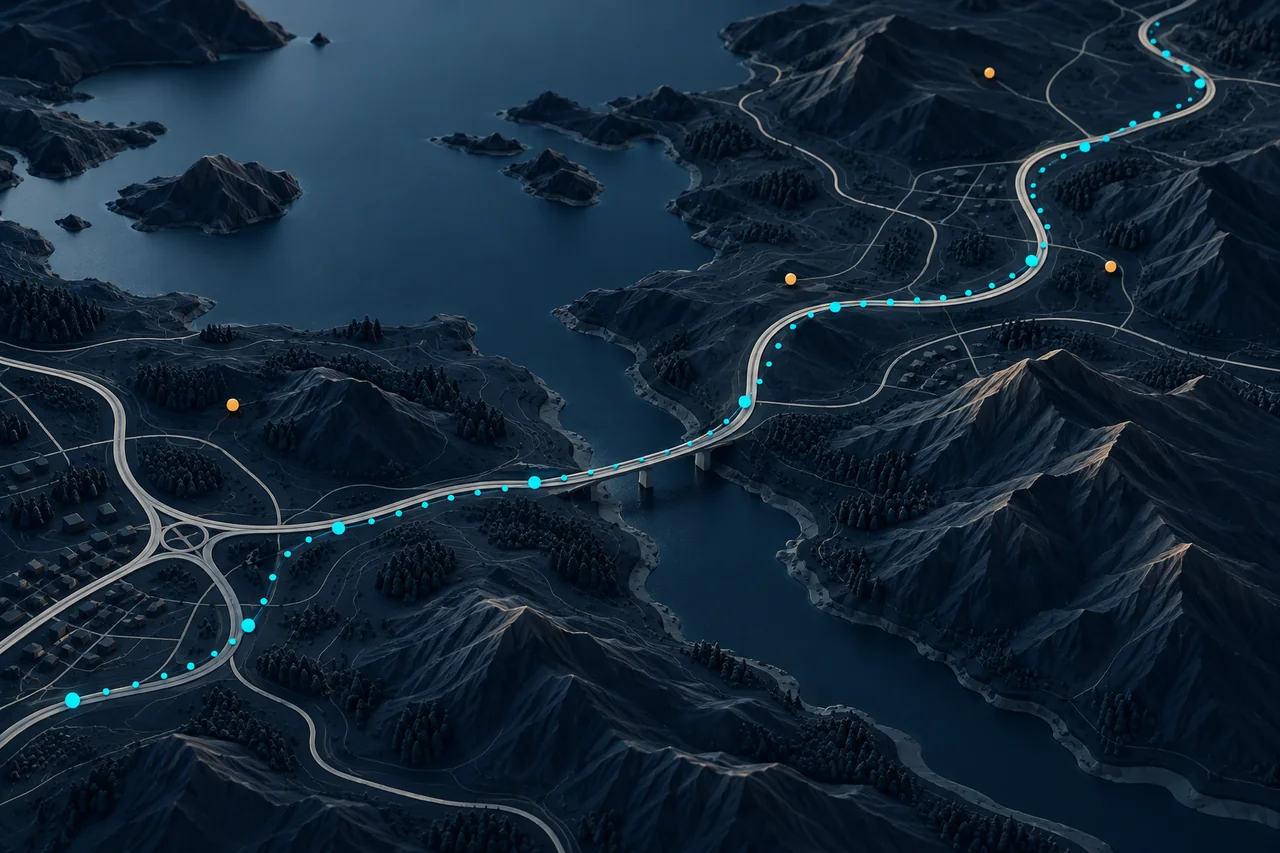
I built a geospatial ML pipeline to detect conflicts between roadway geometry and trip coordinates, from spatial data preparation to continuous monitoring.
 Harshit Makwana
- My role
- Spatial data preparation, ML modelling & monitoring
- Timeline
- 2022–2023
- Focus
- Geospatial analysis
01 / Context
Turning noisy location records into actionable spatial checks.
Roadway line strings and trip coordinates need to agree before they can support reliable transport analysis. I worked on detecting conflicts between these sources and using their spatial relationships to support prediction and ongoing monitoring.
02 / Ownership
What I built
- Gathered millions of roadway and trip-coordinate data points, cleaned the dataset, removed outliers and explored its spatial characteristics.
- Used Shapely and GeoPandas for spatial operations, then trained a Gaussian Naive Bayes classifier to identify GIS conflicts.
- Built the ingestion, preprocessing and training pipeline, and implemented the model for continuous monitoring.
- Applied the model to real-world records to help resolve conflicts and provide predictive insights.
03 / Engineering
Technical approach
Make the spatial data usable
I started with data preparation: bringing roadway line strings and trip coordinates into a workflow where I could clean records, inspect outliers and carry out exploratory analysis. Shapely and GeoPandas supported the spatial operations that preceded modelling.
Connect modelling to monitoring
I trained Gaussian Naive Bayes for conflict detection and connected it to the processing pipeline. The work extended beyond a training run: I implemented ongoing monitoring so the model could be applied to new roadway and trip data.
04 / System view
Workflow at a glance
Roadway & trip data
Line strings and coordinate records
Spatial preparation
Cleaning, outlier removal and spatial operations
Conflict classification
Gaussian Naive Bayes
Monitoring
Conflict detection and predictive insights
05 / Delivery
Outcomes
- Reported conflict-detection accuracy
- >98%
I achieved over 98% conflict-detection accuracy in the project evaluation and applied the system to real-world data. The delivered workflow connected spatial preparation, model training and continuous monitoring.
Project-reported evaluation result. Dataset split, class balance and evaluation sample count are not published here.
Technologies & methods
- Python
- Shapely
- GeoPandas
- Gaussian Naive Bayes
- GIS